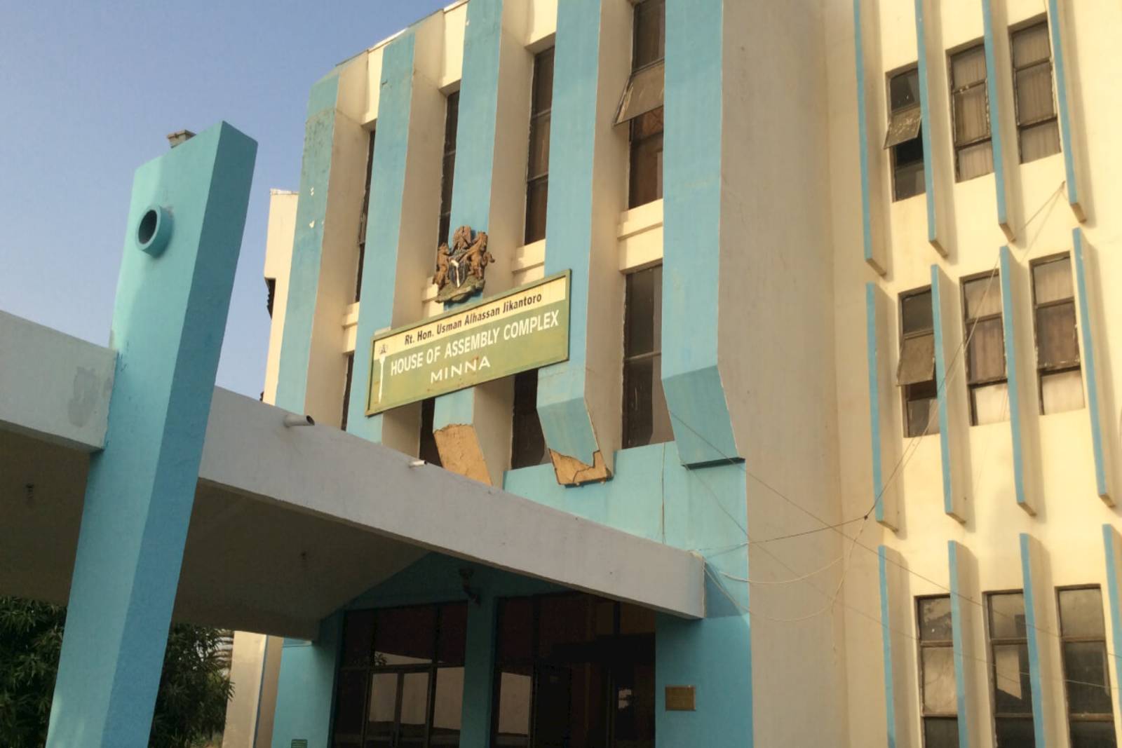
Agwara is a Local Government Area in Niger State, Nigeria. Its headquarters are in the town of Agwara. It has an area of 1,538 km² and a population of 57,413 at the 2006 census. The postal code of the area is 923.
Agwara is located in the south-west of Niger State, bordering Kogi State to the south and Kwara State to the west. The town of Agwara is situated on the banks of the Kaduna River.
The major ethnic groups in Agwara are the Nupe, Gwari, and Yoruba. The majority of the people in Agwara are Muslims, with a small Christian minority.
The economy of Agwara is based on agriculture, with the main crops being maize, millet, sorghum, and rice. There is also some livestock farming in the area.
Agwara is a beautiful and peaceful area with a rich culture and history. The people of Agwara are warm and welcoming, and they are always happy to share their culture with visitors.
Here are some additional facts about Agwara:
* The town of Agwara was founded in the 17th century by the Nupe people.
* Agwara was a major trading center in the 19th century, and it was home to a number of important markets.
* Agwara was the site of a number of battles during the Nigerian Civil War (1967-1970).
* Agwara is home to a number of historical sites, including the Agwara Old Palace and the Agwara Mosque.
* Agwara is a popular destination for tourists, who come to visit the town’s historical sites and enjoy its beautiful scenery.