Bosso is a Local Government Area in Niger State, Nigeria. Its headquarters are in the town of Maikunkele. It has an area of 1,592 km² and a population of 208,212 as projected in 2019 using the national population census figures of 2006 with 2.5% annual growth rate. The postal code of the area is 920.
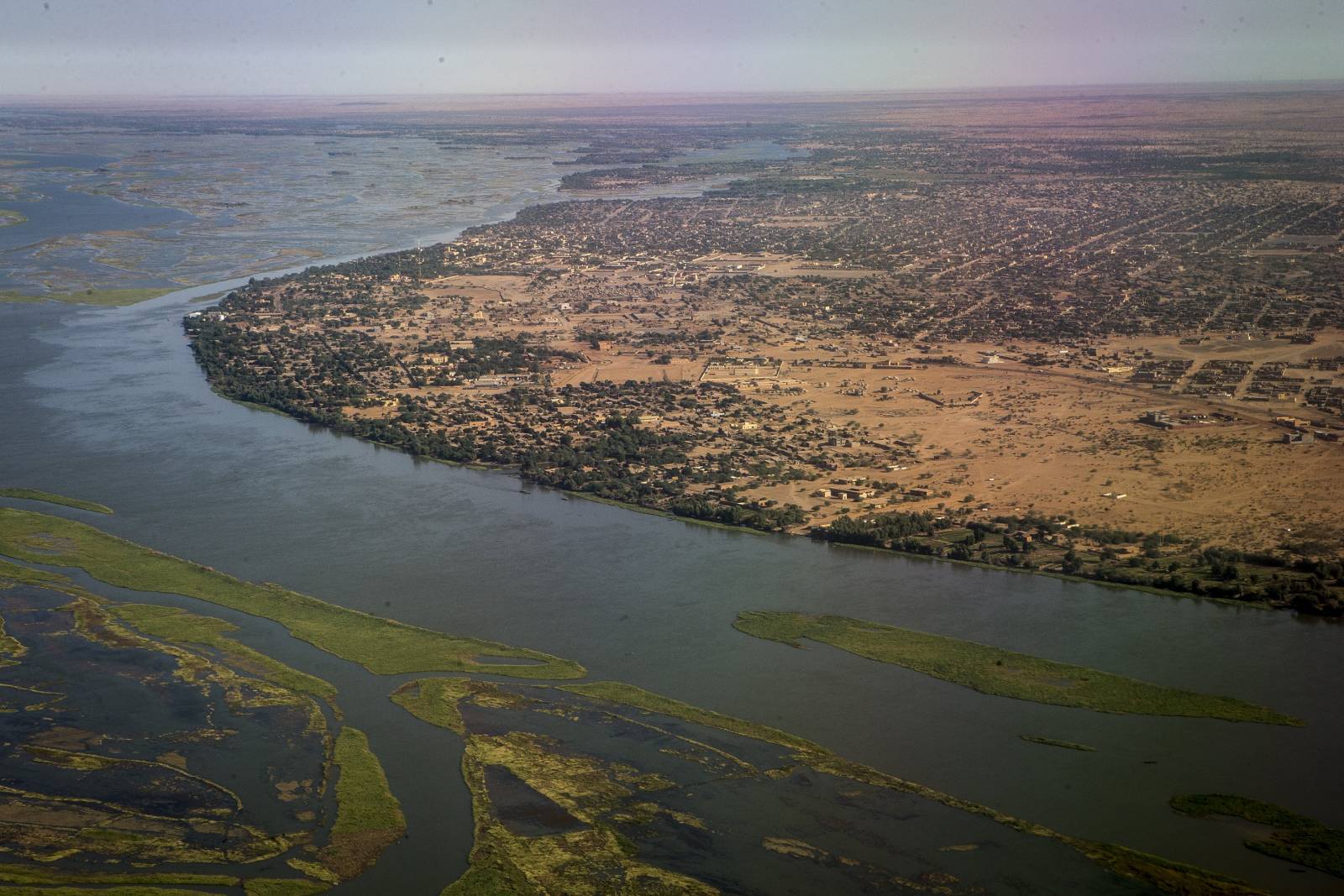
Bosso is located in the north-west of Niger State, bordering Kwara State to the south, Kogi State to the south-west, Kebbi State to the north, and Benin Republic to the west. The Niger River forms the western boundary of Bosso.
The main town in Bosso is Maikunkele, which is the headquarters of the Local Government Area. Other towns in Bosso include Beji, Bosso, Chanchaga, Garatu, Kampala, Kodo, Maikunkele, Maitumbi, and Shata.
The majority of the people in Bosso are Hausa, with a significant minority of Gbagyi. The official language of Bosso is Hausa, but English is also spoken by some people. Bosso is a predominantly Muslim area. There are a few Christian churches in Bosso, but they are a minority.
The main occupation in Bosso is farming. The main crops grown in Bosso are millet, sorghum, rice, and cassava. Some people in Bosso also fish in the Niger River.
Bosso is a relatively poor area. The main sources of income for the people of Bosso are farming and fishing. There are a few small businesses in Bosso, but they are not very well developed. Bosso is a beautiful and historic region with a lot to offer visitors. The people of Bosso are friendly and welcoming, and they are always happy to share their culture and traditions with visitors.