Shiroro is a local government area located in Niger State, Nigeria. It is situated in the north-central part of the country and is known for its natural resources and hydroelectric power generation. Shiroro is located in the northeastern part of Niger State, bordering Kaduna State to the north. It is approximately 100 kilometers north of Minna, the capital of Niger State.
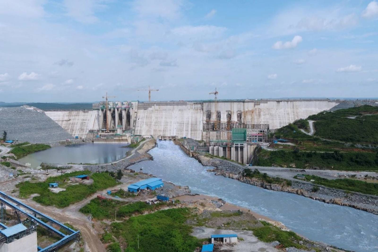
One of the notable features of Shiroro is the Shiroro Dam, which was constructed on the Kaduna River. The dam is a major source of hydroelectric power generation in Nigeria. It has a capacity of 600 megawatts and contributes significantly to the country’s electricity supply.
Apart from its role in power generation, Shiroro is rich in natural resources. The area is known for its mineral deposits, including tantalite, granite, limestone, and kaolin. These resources have the potential to contribute to economic development in the region.
Agriculture is an important economic activity in Shiroro. The fertile soil and favorable climate support the cultivation of various crops such as maize, millet, yam, and rice. Livestock rearing, particularly cattle, is also practiced in the area.
The presence of the Shiroro Dam has made the area attractive for tourism and recreational activities. The dam’s reservoir, surrounded by scenic landscapes and hills, offers opportunities for boating, fishing, and picnicking. The area’s natural beauty attracts visitors interested in exploring the outdoors.
Shiroro is home to different ethnic groups, including the Gwari, Nupe, and Kamuku. Each group has its own language, culture, and traditions, adding to the area’s cultural diversity.
Shiroro has basic amenities such as schools, healthcare facilities, markets, and transportation services. However, like many rural areas, there may be challenges in terms of access to quality education, healthcare, and other essential services.